Advancements in Satellite Technology and Remote Sensing for Oceanographic Studies
What happened
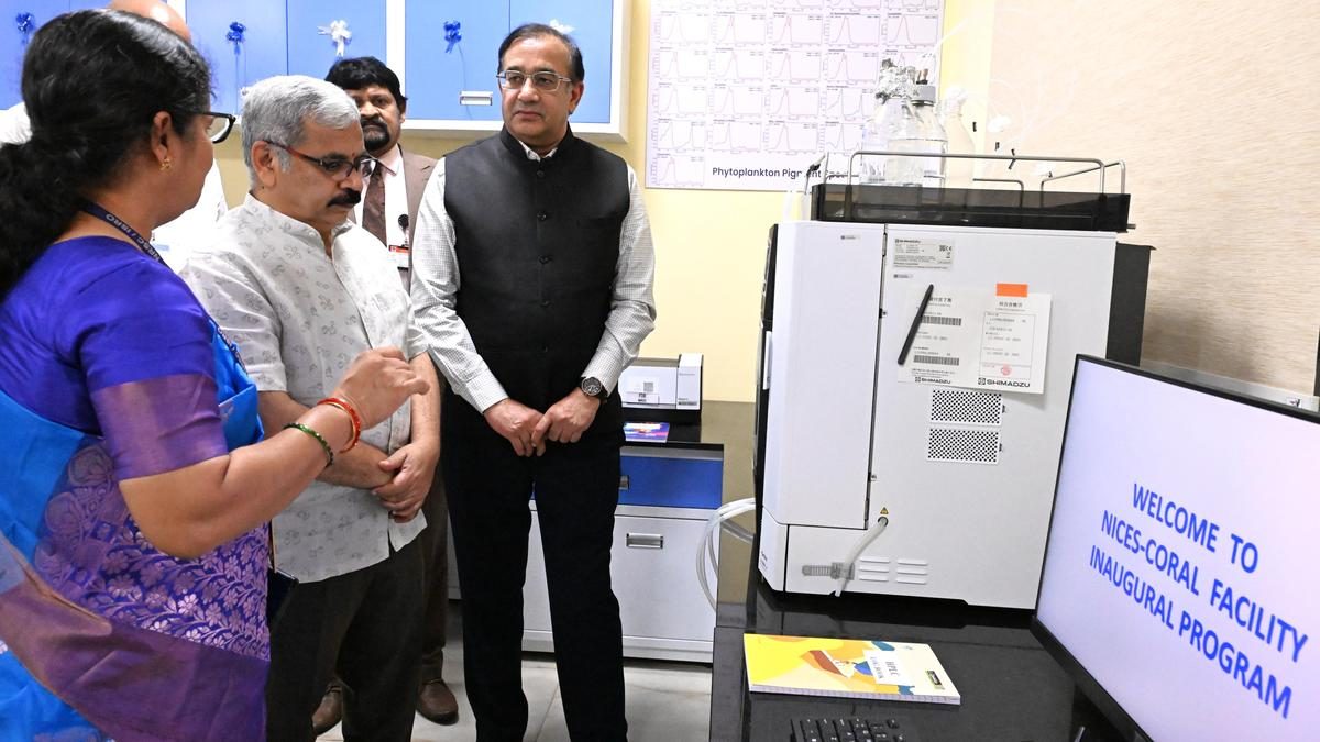
The National Remote Sensing Centre (NRSC) Director Prakash Chauhan announced the likely launch of the Oceansat-3A satellite by the end of 2026 during the inauguration of the NICES-Coastal Observation Research Laboratory at Andhra University. The laboratory, established under a MoU between the university and NRSC, aims to support ISRO's Oceansat programme and enhance ocean observations through advanced equipment and research initiatives.
Key takeaways
- Satellite technology enables remote sensing of oceanographic data — This capability is crucial for monitoring marine ecosystems and supporting sustainable development.
- The Oceansat programme aims to enhance India's capacity for ocean observation — It reflects India's commitment to utilizing space technology for environmental monitoring and resource management.
- Ground-truth observations are essential for validating satellite data — This process ensures the accuracy of remote sensing applications in studying ocean-atmosphere interactions.
- The establishment of advanced laboratories supports multidisciplinary research — It fosters collaboration across various fields, including computer science and artificial intelligence, enhancing the scope of oceanographic studies.
- Space-based data plays a vital role in disaster management — It aids in preparedness, response, and recovery efforts, particularly in the context of climate change.
Conceptual analysis
The advancement of satellite technology and remote sensing plays a pivotal role in understanding and managing oceanographic studies. The Oceansat programme, initiated by the Indian Space Research Organisation (ISRO), aims to enhance the monitoring of ocean resources and ecosystems, which is crucial given that oceans cover about 70% of the Earth's surface. The upcoming launch of the Oceansat-3A satellite is expected to bolster India's capabilities in this area. The establishment of the NICES-Coastal Observation Research Laboratory at Andhra University, in collaboration with NRSC, signifies a commitment to integrating ground-truth observations with satellite data to improve the accuracy of oceanographic research. This multidisciplinary approach not only supports scientific inquiry but also aligns with broader goals of sustainable development and disaster risk reduction, particularly in the face of climate change. By leveraging space-based data, India aims to enhance its blue economy, which encompasses fisheries, marine exports, and overall ocean resource management, thereby contributing significantly to the national economy.
Concept explainers
The acquisition of information about an object or phenomenon without making physical contact, often through satellite or aerial imagery.
A series of Indian satellites designed for ocean observation, focusing on monitoring ocean color, temperature, and wind patterns.
Data collected on-site to validate and calibrate remote sensing data, ensuring its accuracy and reliability.
Sustainable use of ocean resources for economic growth, improved livelihoods, and jobs while preserving the health of ocean ecosystems.
Syllabus tags
Source: The Hindu, 18 Jul 2026
Read today's current affairs
Sign up free for daily UPSC concept cards, Prelims practice, and Mains evaluation.